Desktop App
for Geospatial Survey
Mapping & Reporting
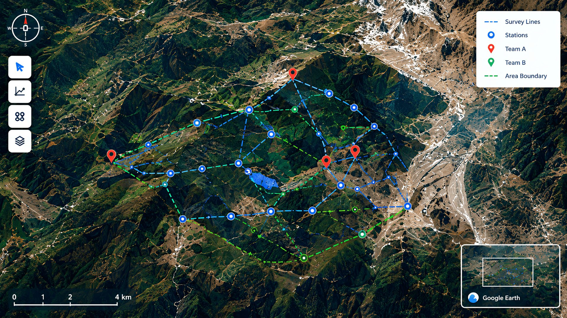
A dedicated offline desktop application built for a confidential mining and geosurvey contractor. Automates line and station generation from survey angle and coordinate data, previews locations live in Google Earth, and produces client-ready reports and proposals — all without touching the cloud.
Key Challenges
Manual survey file handling
Survey data (KMZ/PLY files) processed manually
No visual line/station generation
No way to generate line and station imagery from survey angles/coordinates
Confidentiality constraints
Data confidentiality required a fully offline, on-premise solution
No team assignment structure
No structured way to assign teams to survey stations
No standardized reporting
No standardized reporting or client-ready proposal output
Why It Mattered
“The client's survey and mining contracts required precise, confidential geospatial reporting. Cloud-based tools weren't viable due to data sensitivity, and manual file handling slowed down team coordination and client reporting.”
Proposed Solution
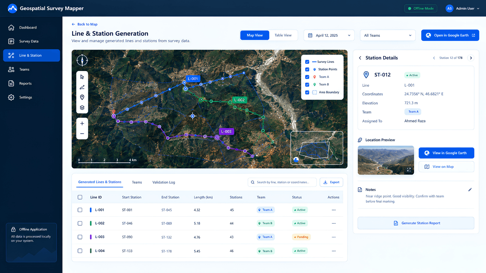
Conceptual mockup based on the delivered solution. Original product screens are confidential to the client.
Before vs After Comparison
Manual survey file handling with no structured coordination
- Manual KMZ/PLY handling
- No visual line/station generation
- No team assignment structure
Fully automated, offline, client-ready survey workflow
- Fully automated line/station generation
- Live Google Earth preview
- Structured team assignment & reporting
- All processing kept fully offline
Core Platform Pillars
Desktop Application
Google Earth Integration
KMZ/PLY Geospatial File Processing
Offline / Secure Data Handling
Automated Report & Proposal Generation
At a Glance
Secure, fully offline processing of confidential survey data
Faster line/station generation and team coordination
Ready-to-share, client-facing reports and proposals
Purpose-built tool replacing manual geospatial workflows
Tell us what needs
to improve.
We'll help you scope the right solution, delivery path and next step.
Start Your Project →